About Taree
Taree is a town on the Mid North Coast, on a floodplain by the Manning River. It and nearby Cundletown were settled in 1831 by William Wynter, and Taree was laid out as a private town in 1854 by his son-in-law Henry Flett. It was declared a municipality on 26 March 1885.
The Biripi are the Indigenous people of this country. The name Taree comes from “tareebit”, a Biripi word for a tree by the river, more exactly the sandpaper fig. Taree sits in the MidCoast Council area, 16 km from the coast and 317 km north of Sydney.
How Taree got here
A few dates and facts that shaped the place.
1831
William Wynter settles the land beside the Manning, at Taree and nearby Cundletown.
1854
Henry Flett lays out Taree as a private town: 100 acres set aside, 40 lots sold at first.
1940
The Martin Bridge replaces the river ferry, and Taree becomes the district’s centre of business as river traffic falls away.
More about Taree
The old St Paul’s Presbyterian Church on Albert Street, built in 1869 in the Victorian Gothic Revival style, is the oldest surviving building in Taree.
Sea transport dominated the North Coast until the 1930s. Even before the North Coast railway was finished it was clearer that goods were safer sent by rail than across the bar at the river’s mouth, where many ships had been lost. The Martin Bridge, opened in 1940, finished the job the railway began.
Where is Taree?
Taree is in the MidCoast Council area on the Mid North Coast of New South Wales.
Nearby towns with hubs on OurHub, with straight-line distances: Tinonee (5 km south-west), Cundletown (6 km east), Wingham (10 km north-west), Old Bar (13 km south-east).
What the Taree directory lists
To eat and drink: Exchange Hotel, Fotheringhams Hotel, Manning River Hotel, Royal Hotel. Shops and services: Taree Post Office, Taree West Post Office. For health: Biripi Aboriginal Corporation Medical Centre, Manning Base Hospital. Halls and community places: Greater Taree City Library.
Parks, beaches and recreation: Manning River Rowing Club, Omaru Park, Ruprecht Park, Stokes Park. Schools and learning: Bright Beginnings Childrens Centre, Chatham High School, St Clare's High School, Taree West Public School. Churches: Destiny Church, High Street Presbyterian Church of Eastern Australia, Seventh Day Adventist Church - Taree, Taree Community of Christ Church. Emergency services: Greater Taree Fire Control Centre, Taree Fire Station, Taree Police Station, Taree Rural Fire Brigade.
Get in touch
A question, something out of date, a group to link, or the keys to this hub: send it here and someone at OurHub will get back to you.
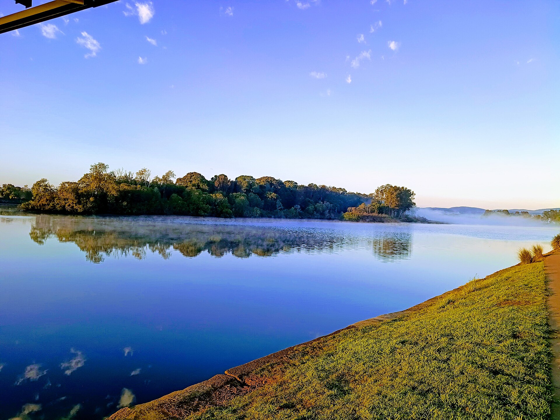
Photo: “Coocumbac Island Nature Reserve” by JaredMcKenzie (CC0), via Wikimedia Commons. Town facts: Wikipedia (CC BY-SA 4.0), which cites the Australian Bureau of Statistics census. Straight-line distances are worked out from the hub’s coordinates. Directory locations © OpenStreetMap contributors (ODbL).